This walk guide is arranged to be used in conjunction with ‘Doward hill fort walk 1’ so that they can be used as two shorter separate walks or combined into one longer walk taking about 4 hours.
Little Doward hill Fort including King Arthur’s Cave and a lime kiln returning beside returning beside the river Wye. Time about 2 hours plus stops. Some steep hills and rocky underfoot in places.
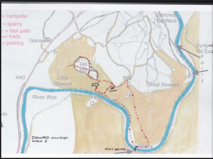
Start this walk from the car park between Great and Little Doward hills. This can be found just down the track past the Doward campsite, (Not Biblins campsite.) by a sign says ‘To Biblins’.
Do not go down the main track through a metal barrier towards Biblins but take the footpath out the back of the car park on the right hand side. Follow this path down the hill to King Arthur’s Caves. You may need a torch to see much of the inside.
")
")
")
")
")
Leave the caves using the smaller footpath that takes you down hill through the Dennis Grove woods with the field on your right. Towards the bottom of the hill is a way marker post.
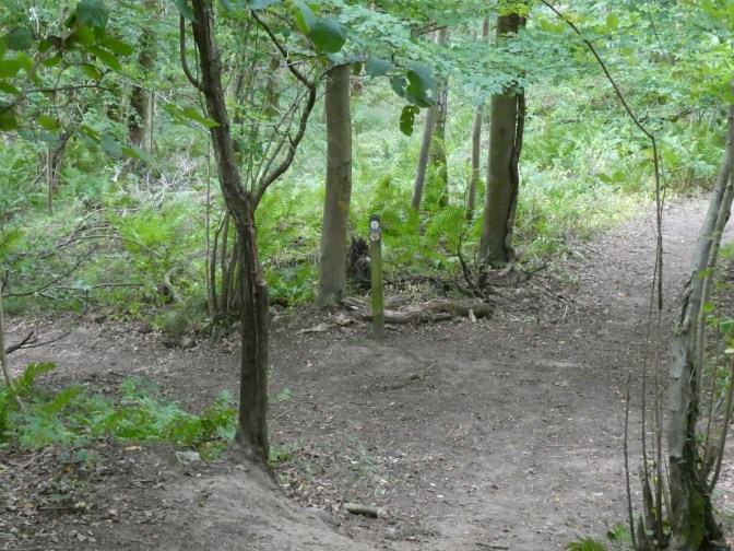
Go right at the way marker ignoring the other footpaths going off left.
Continue along High Meadow Trail which now ascends the hill to where you cross a wall using a timber ‘stairs‘.


Then through the gap in the fence with the limestone cliff in front of you.
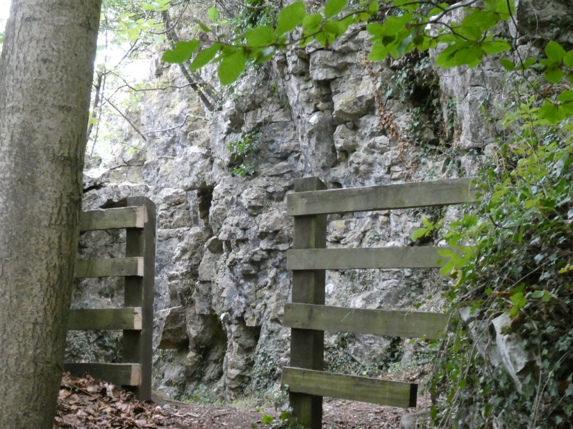
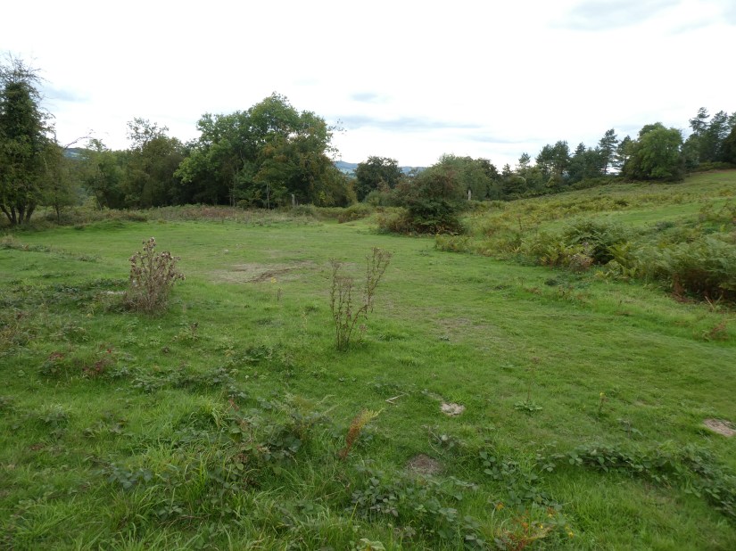
You have now left the woods and are now on an old carriageway made by the owner, a M Blakemore, in Victorian times. Turn right climbing Little Doward hill and enter the Lower Hill Fort. One of the largest hill fort areas in Britain.
This grassy track broadens as it goes up the hill. After a while you will come to a ‘crossroads’ ( five ways join here) on wide grassy pathways
Go straight across up the hill into Upper Hill Fort. Somewhere here near the top used to be an iron observation tower also by Blakemore but this has long since been removed. You might just see the remains of the foundations. At the top of the hill the path passes through a gap cut in the East perimeter rampart and ditch fortification, again vandalism by Mr Blakemore in constructing his scenic carriage route.


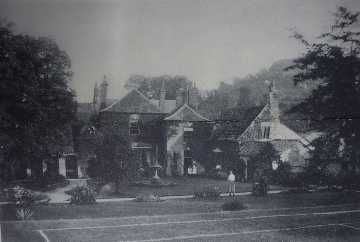
Immediately after you pass through the gap, take a short detour to the left to see the ‘Hermitage‘, a folly built by Blakemore to entertain his guests.

")
Retrace your footsteps to the large beech tree. Follow the level path past the beech tree until you come to the woods in front of you. You may see the concrete trig’ point ahead.


With the woods on the left keep right and the path takes you down hill along the North fortification ramparts and ditch, altered in some places to facilitate Blakemore’s carriageway.
Eventually you will come to the earlier ‘crossroads‘

Go straight across the crossroads heading South East and down hill to the southern perimeter ditch. At a ‘t’ junction’ of the paths turn left downhill a short way where you need to find the much smaller footpath on the left opposite a small beech tree. This will take you over the ditch and rampart but this track may be heavily overgrown and hard to discern.

Leave the main path here.


Follow this path through a gap in the limestone escarpment where it turns left and down hill with the limestone cliffs on your left and views over the Wye valley on your right.

You can see the remains of some gunpowder holes drilled into the rock for blasting away the cliff face to make space for Mr Blakemore’s carriageway.

There is also a small cave at the bottom of the cliff but be careful because it’s a squeeze to get in and once inside it is a hands and knees job, dark and difficult to turn round. We don’t recommend this unless you know what you are doing.
")
")
Retrace your footsteps back over the style and ‘stairs’ and back down the hill until you arrive at the way marker post mentioned earlier.

Here you turn right here, down a steep rocky path all the way to the river Wye.
At this point you can either turn right to see the lime kilns, or left and on towards the Biblins youth campsite.
If you turn right to see the restored lime kilns, walk down the riverside foot path until you pass a stone wall on the right going up the hill at right angles to the footpath. With the wall on your right walk up the hill a little way until you see Little Doward Limekiln on your left.


Retrace your route back down to the river side and turn left. Keeping the river immediately on your right you pass high limestone cliffs extensively quarried to feed the lime kilns years ago.

Soon you will enter the meadow-like Biblins campsite. In the season there is a small café area open where you can rest and buy refreshments. On the campsite there are taps to replenish your water bottles.
Between the camp site buildings is the gravel site access road.
Follow this road up hill to the car park where you started.
Other things to see on your walk.
")
")
")
")
")
")
")
")


")
")


")
